Papau New Guinea Blog #3
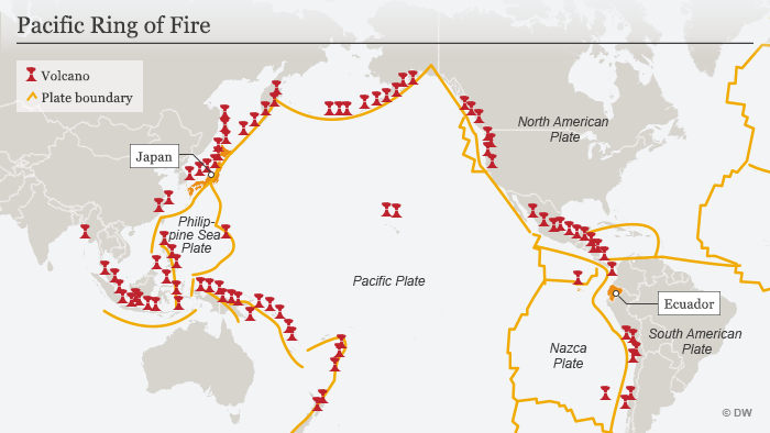
Papau New Guinea is located in the ring of fire at the collision point of several tectonic plates. Papau New Guinea is one of the most disaster prone areas in the pacific accounting for 25 percent of all natural disasters in the Pacific. Papau New Guinea is ranked in the top 6 of countries in population exposed in Earthquke rank behind the Philippines, and Indonesia. Papau New Guinea experiences over 100 earthquakes every year with magnitude of over 5.
Papua New Guinea experiences a high rate of earthquakes and volcanic eruptions, with 64 quakes of a magnitude of 6.0 or larger – eight of which were 7.0 or larger – hitting within 250km in the past 50 years. The island nation lies along the “Ring of Fire”, a major area in the basin of the Pacific Ocean where most of the world’s seismic activity occurs.
Solutions to the earthquake problem of Papau New Guinea, it is regoized that houses, buildings and infrastructure are not built to wisthand Earthquakes in Papau New Guinea. Drawing on key information from Papau New Guinea's earthquake hazard map, Geo science Australia is partnering with local stakeholders to update the Papau New Guinea Earthquake Building Standard. So that Local builders, architects and construction companies can use this standard to ensure future buildings in PNG are constructed to withstand common earthquake events, ensuring families, schools and communities are safe when an earthquake hits. Builders can also use this standard to assess existing structures and recommend retrofit measures to strengthen the buildings in Papau New Guinea design.
Other solutions to the Earthquake problem in Papau New Guinea. Are better Automatic alert systems are a critical in helping governments and emergency managers respond to an event. Geoscience Australia is enhancing the technology capabilities of PNG to help local emergency managers and governments respond to earthquake events. PNG's earthquake monitoring system only shows in real-time, where the earthquake is occurring and records the magnitude of the seismic waves. However, it does not show what the forecasted impact of the earthquake event is on the ground. Through integrating the Shakemap tool into PNG's earthquake monitoring system, emergency managers can be provided near-real-time maps of ground shaking intensity following significant earthquakes, and a report of the forecasted impact to communities, housing and infrastructure. Automatic reports will be built into the system so governments can receive a system-generated alert and report of the event and its modelled impact, to inform emergency response to the area, where Earthquake would be detected.
https://www.pg.undp.org/content/papua_new_guinea/en/home/operations/projects/crisis_prevention_and_recovery/disaster-risk-management.html
https://www.independent.co.uk/news/world/australasia/papau-new-guinea-earthquake-today-news-map-damage-latest-a9624146.html
https://www.ga.gov.au/about/projects/safety/reducingpngrisk


Comments
Post a Comment